New Way to Order Digital Data For many years, LOJIC Staff has provided a service to convert our native Esri formatted data to AutoCAD data for use by the development community. Now, we are making it easier to get the data you need.
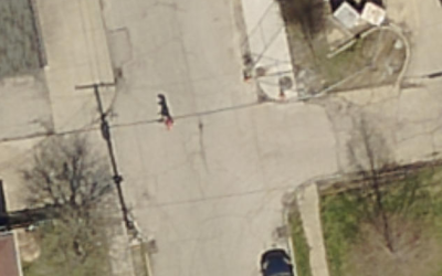
Spring 2019 Jefferson County Aerial Imagery Captured Acquisition of new LOJIC aerial imagery of Jefferson County was completed by EagleView this March.
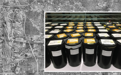
The View from Up There: LOJIC Donates to U of L Archive Aerial photography of Jefferson County dating from 2000 to 1946 is available for viewing at the University of Louisville Archives & Special Collections following a donation by LOJIC of more than 100 canisters of negatives.
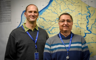
Brief Update on Current LOJIC Efforts A message from Curt Bynum, LOJIC Manager, about several major projects the LOJIC Staff is currently undertaking.
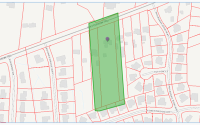
Louisville Metro and LOJIC Prepare for the 2020 Decennial Census The Louisville Metro Government, with assistance from LOJIC staff, has started preparing for the 2020 Decennial Census. The Local Update of Census Addresses (LUCA) is the first program in preparation for the Decennial Census.
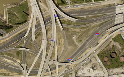
High Resolution Scale Level Added to Several LOJIC Cached Services Users can now view 2016 aerial photography up to 1 inch = 150 inches in the LOJIC imagery cached service used in several LOJIC Interactive maps, including LOJIC Online.
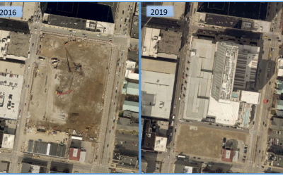
LOJIC Team Begins Total System Redesign 3/15/2018 - LOJIC partners recently initiated a major project to redesign all components of the LOJIC GIS IT architecture.
LOJIC Representatives on KAMP Executive Board 1/25/2018 - On January 1, 2018 Database Administrator, Chris Alldredge, and Application Developer, Scott Dickison, began two-year terms as Directors on the KAMP Board.
LOJIC Acquiring Spring 2018 Aerial Photos 1/17/2018 - LOJIC will acquire Spring 2018 aerial photography, LiDAR elevation data and updated planimetric, hydrographic, and topographic mapping for Jefferson, Oldham and Bullitt counties.
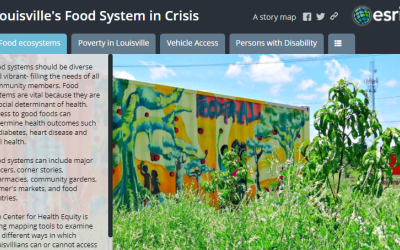
Using Story Maps in the 2017 Health Equity Report 12/15/2017 - The Center for Health Equity recently released the 2017 Health Equity Report and are using Story Maps to help our community understand its findings.
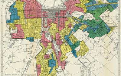
Redlining Louisville 12/14/2017 - Louisville Metro Government’s Office of Redevelopment Strategies is launching a citywide effort to address the issue of redlining in Louisville – past and present.
LOJIC GIS Day - A Big Hit! 12/13/2017 - On November 17, 2017, LOJIC hosted a GIS Day event in the Mayor’s Gallery at Metro Hall. The event was well attended and Mayor Greg Fischer addressed attendees and spoke on the importance of geospatial data and technologies in Louisville.
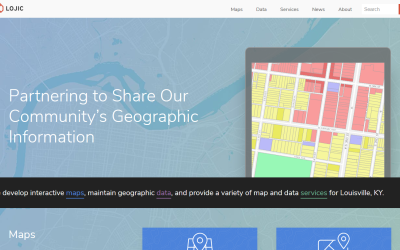
Announcing the New LOJIC Website 10/25/2017 - The LOJIC website has a new, contemporary look, making it compatible for use with mobile devices, and easier to find information.
Get Ready for GIS Day 10/23/2017 - Join us to learn how our community is “Discovering the World Through GIS” and applying “The Science of Where."