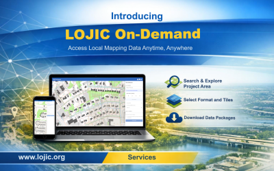
Introducing LOJIC On-Demand The Louisville/Jefferson County Information Consortium (LOJIC) has introduced LOJIC On‑Demand, a new web-based service designed to give users around-the-clock access to digital mapping and geographic data products.
GIS Day at UofL: Seeing the Forest for the Trees The University of Louisville hosted this year’s GIS Day with LOJIC and the Geotech Center, featuring the theme “Seeing the Forest for the Trees: Mapping Health in Urban Landscapes” and sponsorship support from Seiler Geospatial.
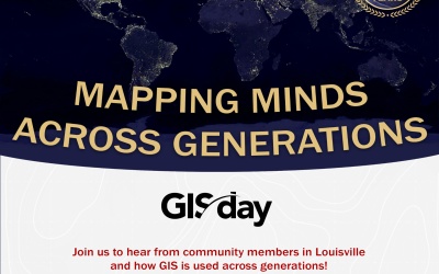
LOJIC GIS Day: Mapping Minds Across Generations UofL hosts GIS Day to enhance GIS knowledge in our community and foster a deeper understanding of our world. Join us to hear from GIS users across high school, college, and the local community!
LOJIC at MSD Field Day 2024 The LOJIC team participated in the 14th annual MSD Field Day on May 21 at the Waterfront Botanical Gardens, an event featuring a full day of educational sessions and networking for construction and engineering professionals.
LOJIC at the Louisville Library, May 2024 On Saturday, May 11, the Louisville Free Public Library hosted its eleventh annual “How-To Festival” at the Main Library on York Street.
LOJIC GIS Day at Metro Hall: Serving Our Community Through GIS Each year the third week of November is "Geography Awareness Week", established in 1987 by proclamation by President Ronald Reagan as an opportunity to emphasize the importance of geography education for our modern world.
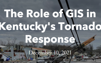
The Role of GIS In Kentucky's December 10, 2021 Tornadoes Story Map by the Kentucky Division of Geographic Information
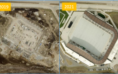
2021 LOJIC Aerial Imagery Now Available Acquisition of new LOJIC aerial imagery of Jefferson County was completed by EagleView.
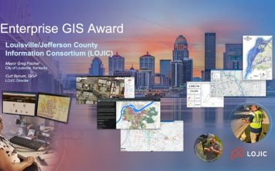
LOJIC Receives Esri Enterprise GIS Award LOJIC received prestigious Esri Enterprise GIS Award at the 2021 Esri User Conference.
Governor Beshear Proclaims GIS Day Governor Beshear recognizes the importance of GIS with an Official Proclamation.
Louisville Metro Receives Esri Special Achievement in GIS Award Louisville Metro Government was awarded Special Achievement in GIS (SAG) at the 2020 Esri International User Conference.
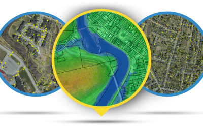
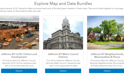
Maps and Data Bundles in LOJIC Open Data Portal View new pages combining LOJIC Interactive Maps and download data featured in the maps from the LOJIC Open Data Portal.
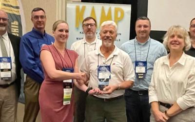
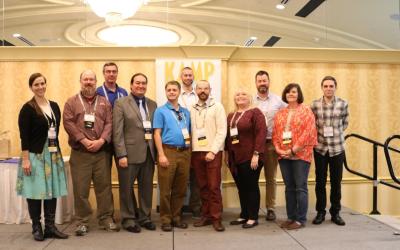
Kentucky GIS Conference Held in Louisville Louisville was the host city for this year’s Kentucky GIS Conference sponsored by the Kentucky Association of Mapping Professionals (KAMP)
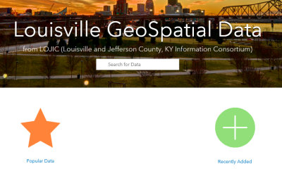
New Look - LOJIC GeoSpatial Data Portal The LOJIC GeoSpatial Data portal has been redesigned to take advantage of new technology and connections.