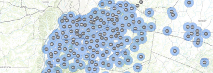
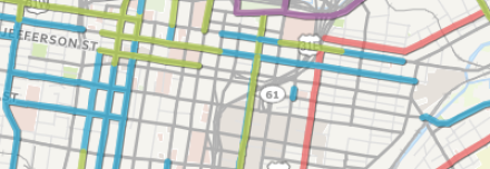
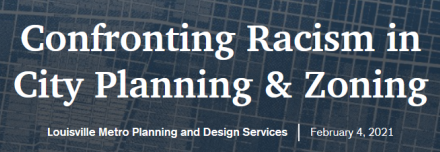
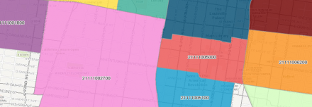
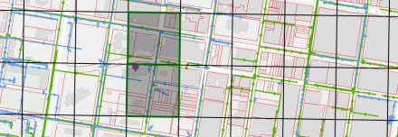
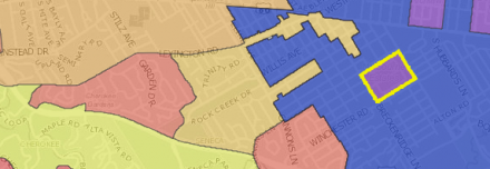
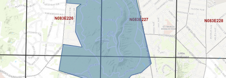
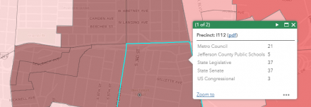
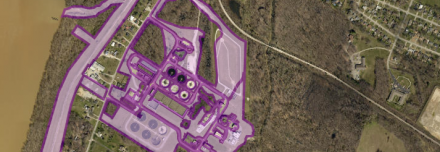
Featured Maps LOJIC Online A geographic overview of the Louisville Metro area. LOJIC Maps Snow Map Updated map of city streets during snow events. Metro Maps LOJIC Maps Metro Snow Command Behind Louisville's Online Interactive Snow Status Mapping System Metro Maps Metro Maps Metro Council Districts Current info on council districts and council members. LOJIC Maps Metro Maps Zoning Citywide data on zoning, overlay, and historic districts. LOJIC Maps Metro Maps Outdoor Warning Sirens Warning sirens of the Louisville Metro Area. Metro Maps Bike Map Map of bike lanes and shared use paths in Louisville and the trails inventory of Southern Indiana. Metro Maps Metro Snow Command Behind Louisville's Online Interactive Snow Status Mapping System Metro Maps Confronting Racism in City Planning and Zoning Identify and address land use regulations and policies that have inequitable impacts on Louisville residents. Metro Maps Opportunity Zones Louisville's 19 Opportunity Zones are part of a new community development program established by Congress in 2017. Metro Maps Snow Map Updated map of city streets during snow events. Metro Maps LOJIC Maps LOJIC Maps Metro Council Districts Current info on council districts and council members. LOJIC Maps Metro Maps Zoning Citywide data on zoning, overlay, and historic districts. LOJIC Maps Metro Maps LOJIC On-Demand A full-service application designed to give users around-the-clock access to digital mapping and geographic data products. LOJIC Maps Neighborhoods A catalog of the municipalities, districts, and neighborhoods of Jefferson County. LOJIC Maps Lidar Grid Useful for drawing your project area and determine LIDAR data files. LOJIC Maps Political Districts Voting locations and precincts for Jefferson County, with local, state, and federal political districts. LOJIC Maps Survey Control User-friendly public access to the geodetic control network databases and descriptions. LOJIC Maps Metro ZIP Codes ZIP codes in the Louisville Regional Area. LOJIC Maps LOJIC Online A geographic overview of the Louisville Metro area. LOJIC Maps Snow Map Updated map of city streets during snow events. Metro Maps LOJIC Maps CSO/SSO Locations Combined Sewer Overflow (CSO) and Sanitary Sewer Overflow (SSO) locations. IOAP Projects Project WIN overflow reduction projects defined in the Integrated Overflow Abatement Plan (IOAP). Mowing Program Areas being mowed and being restored by MSD. Metro Snow Command Behind Louisville's Online Interactive Snow Status Mapping System Metro Maps DGI Tornado Response The December 10, 2021 tornado caused horrific damage in Mayfield, KY. Confronting Racism in City Planning and Zoning Identify and address land use regulations and policies that have inequitable impacts on Louisville residents. Metro Maps Louisville Honors Muhammad Ali Funeral procession route on June 10, 2016. Water Main Condition PCCP Water Main Condition Assessment T. Dan Lambert, GISP / Andrew Williams, P.E.