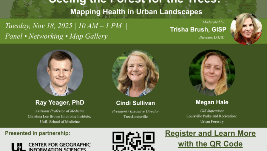
The University of Louisville hosted this year’s GIS Day event in partnership with LOJIC and the Geotech Center, with Seiler Geospatial generously sponsoring lunch. The theme, “Seeing the Forest for the Trees: Mapping Health in Urban Landscapes,” set the tone for a day of exploration into how geospatial technology helps us understand complex urban environments.
A Day of Collaboration and Insight
The event drew 150 attendees, including students, faculty, and GIS professionals from across the region. Participants engaged in presentations and discussions highlighting how spatial data and mapping tools can reveal patterns in public health, environmental sustainability, and urban planning.
Highlights
- Expert-led sessions showcased innovative applications of GIS in addressing health disparities and improving city planning.
- Networking opportunities connected attendees with industry leaders and local organizations committed to advancing geospatial technology.
- Interactive demonstrations allowed participants to experience cutting-edge tools firsthand.
Impact
GIS Day is more than a celebration of technology—it’s a reminder of the power of location intelligence to solve real-world problems. By “seeing the forest for the trees,” we gain a clearer perspective on the interconnected factors shaping our communities.