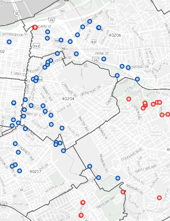
Our mapping applications, story maps, and printable map pdfs are the most comprehensive collection of Jefferson County's GIS data on the web.
Partnering to Share Our Community’s Geographic Information
We develop interactive maps, maintain geographic data, and provide a variety of map and data services for Louisville, KY.
Maps

LOJIC Online
Provides a geographic overview of our community, with data on parcels, taxing districts, zoning, utilities, and more.

Map Hub
Our map collection includes interactive apps for neighborhoods, political districts, snow events, and more. See all of our maps!
See more news
News

Data
LOJIC makes some of our countywide datasets available on our Open Data Portal. We also can extract site specific data in AutoCAD or Esri data formats.
Open Data
LOJIC's public platform for exploring, analyzing, and downloading open datasets.
Address Points Metro Council DistrictsParcelsStreet Centerlines
Explore Map and Data Bundles
View the LOJIC Online Map and the download data used in it.
Services
We provide services for your custom requests to extract site specific area in AutoCAD or Esri data formats. We also can make custom maps based on your area of interest and scale.
We provide technical assistance to help you use our interactive maps and other features on our web site.

Custom Requests
LOJIC Staff can extract data for a project specific area in AutoCAD and Esri data formats and can make custom maps up to 36 inches in one dimension.

Technical Assistance
Contact LOJIC staff if you have questions about our maps or data or if you want to learn more about LOJIC.